Thursday, June 11, 2020

How could I forget?

THANK YOU BETH FOR THE CELEBRATORY CHOCOLATE CREAM PIES!!!


Oh, and Capt... Wondering how that first pie disappeared so quickly? Well suffice to say I THOROUGHLY enjoyed my breakfast that morning...

Does anyone recognize this marker?


This is Sail Rock, and it marks the entrance to the Lubec Narrows just off West Quoddy Head Lighthouse. Hang a left and you are headed to Lubec and Eastport. Assuming, that is, that you timed the tide perfectly and/or have enough grunt in your Cummins to brave the rushing riptides and whirlpools. No, the Captain wouldn't let me attempt a stop and go in Old Sow, but passing under the Campobello bridge was a rush.

LUBEC, MAINE


The water was really rushing. We followed the lobster boats through. Whistle-pissers will have to wait for the right tide. For The Ralphs, it is just a matter of burning some diesel! 

A shot of Campobello Island for a friend out west:

EASTPORT, MAINE

Beth and Marshall were waiting for us at the dock. What a relief to get off this boat! Obligatory shots of "Tully"more dew: 

Shot of Eastport "Marina"

I had my first hotdog here in the early 80's. Rosie's daughter now runs the show. I think she said they have been serving up dogs for 47 years right here on the Eastport dock!


Roque's Island

I didn't even want to post about Roque's Island as it is truly a hidden gem. Captain Ralph tells me it is already in the Waterway Guide, and not to worry because cruisers don't come this far! Apparently they need shiny marinas and overpriced crappy food. This island is privately owned and boasts an incredible sandy beach.

Timewarp GoPro video on the way in from the south side. I kinda ruined the shot by simultaneously flying the drone. I also lost my Griz hat. There were 25 knot winds and the drone was nearly lost countless times.

Here I am trying to land it in huge wind gusts onto a moving boat deck. Cannot afford to miss the landing out here as these drones are beyond expensive. Luckily, we got her down.

Here is the drone's view- it isn't as entertaining unfortunately!

 Drone view of Roque's:


A panoramic taken from the bow

An island on the way out

Our rear window is covered in soot. I suppose the OOB-bypass had something to do with this! 23.8 knots is Betsy's current top speed, for those of you who have been waiting a month for me to make such a pronouncement! Remember, this is wind, tide and current -dependent. You will never see such speeds swimming upstream. There is more in those Cummins with an injector cleaning and some Stanadyne ;). 

Our sides are covered in salt

And then we headed home... Puffin Island was not in the cards for ol' Ralphie Props this time around. Captain Ralph was vigilant! It was as if he had an idea I might try to pull something at the last second. And he would have been right. I would have gone to Puffin Island and then around Head Harbor with a stop for a lobster roll lunch in Grand Manan. What's the hurry? We are supposed to be cruising.

Somes Sound

Managed to get out of the wind and get some drone footage of Betsy motoring along. Anyone want to buy a boat?

Drone over Southwest Harbor

Here is some (sped up, dumbed down) drone footage of Betsy motoring around Rockefeller's mooring ball at the top of Somes Sound! We also went to that plaque on the coast half way down the sound. We couldn't get close enough for a picture due to lobster pots and it was too windy to fly the drone. 


Final fuel stop in Southwest Harbor

Since the final day was easy mileage with great weather predicted, we decided we could sleep in and have a nice breakfast. 


The Captain had the gall to enter my stateroom at 5:02am to ask me electrical questions. Apparently there was a reason we had to fire up so early. The utter lack of logic immediately conveyed that this morning was simply just like every other- we were in a massive rush to pull out of the harbor and get home as quickly as possible. I already had my maps plotted to Roque's Island as well as Puffin Island, but what were the chances the Captain falls asleep and leaves me at the helm again

As grumpy as I was, I have to admit the Eggemoggin Reach area was picturesque. The water was as smooth as glass. I loved this lobster boat and he seemed to pose for the camera!


Southwest Harbor:


Back to getting punked! This brought the joy back into my heart. 


Hinckley yachts:

Maine does NOT have a fjord, at least not in Somes Sound as claimed. There were a couple of molehills next to the rocky beach, but I didn't spot any moles. I didn't care, the Captain was willing to spend 10 minutes going out of our way to actually see something, so I wasn't about to complain!


Bucksport Harbor - our last night away from home!

We booked a mooring ball at Bucksport Harbor. I could have stayed a week in this spot. I have never stepped foot in the town despite having lived not far away. 

Here we are getting to our mooring ball. Naturally, we took the long way in. At least we are consistent! The stick wasn't quite long enough to grab the little attached buoy. 


Drone footage at Bucksport Harbor. Again, had to dumb down the quality to make it work. This is 1080, but with medium quality and 2x speed. Blame blogger as The Ralphs are capable in this regard!

Compare to this footage at 1080 and high quality and normal speed (clip is shorter so the file size was not overwhelming here):

Sunset over Bucksport. I tried to send the drone out to that island with the lighthouse, but connectivity issues prevented me from getting there. At least I didn't lose the drone!

 Dinner was delightful. Thank you Amir for the most amazing kebab seasoning! Once again, we ate like kings.

Pictures in the harbor:


Coastal Maine heading up toward Bucksport Harbor

Bucksport Harbor was one of my favorite stops. What a gorgeous spot. They have a nice anchorage where you will be well protected from the elements. But first, there was much beauty along the way:


Leaving this here for posterity, for myself!

More photos:


And the adventure continues!

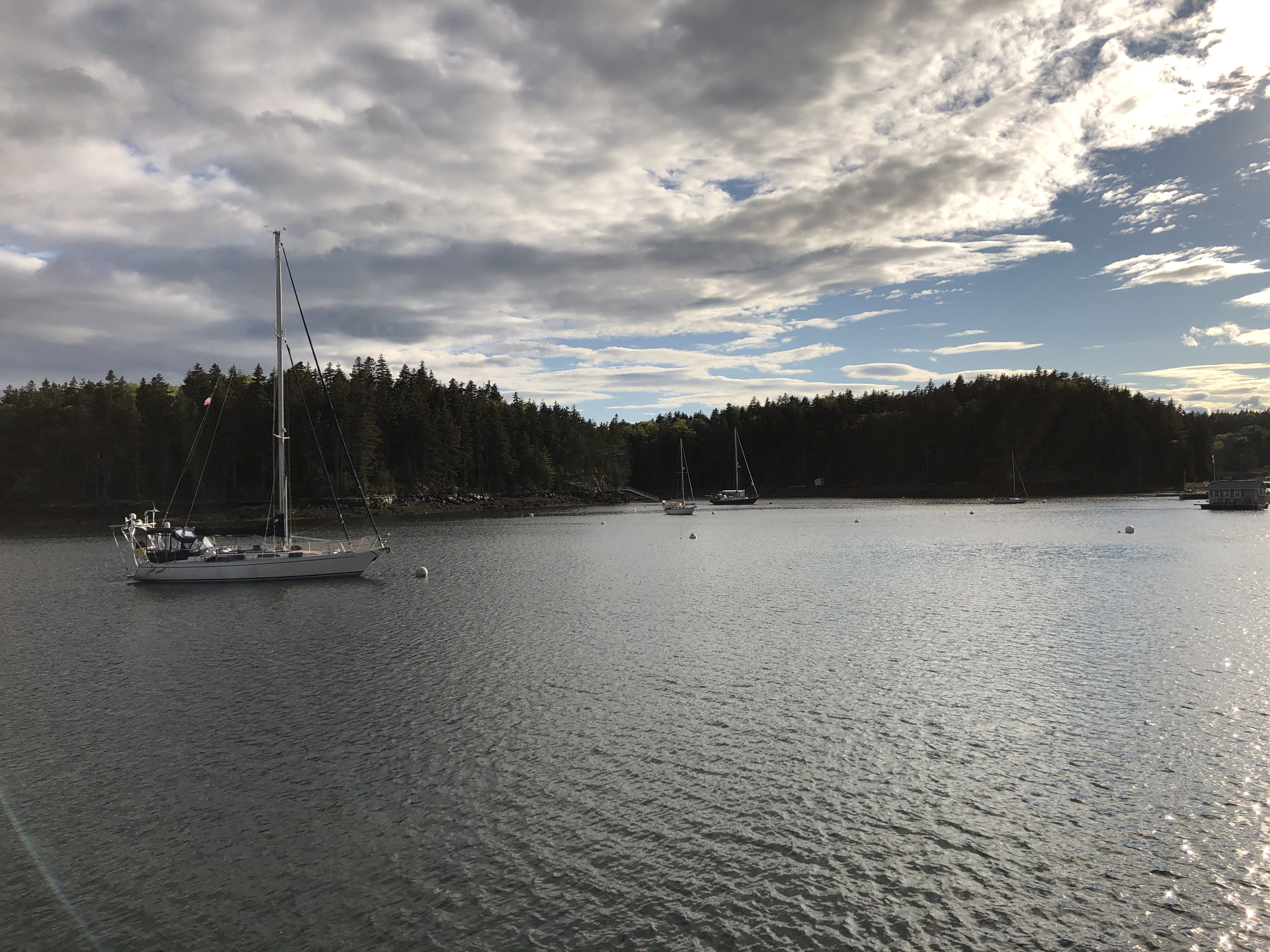
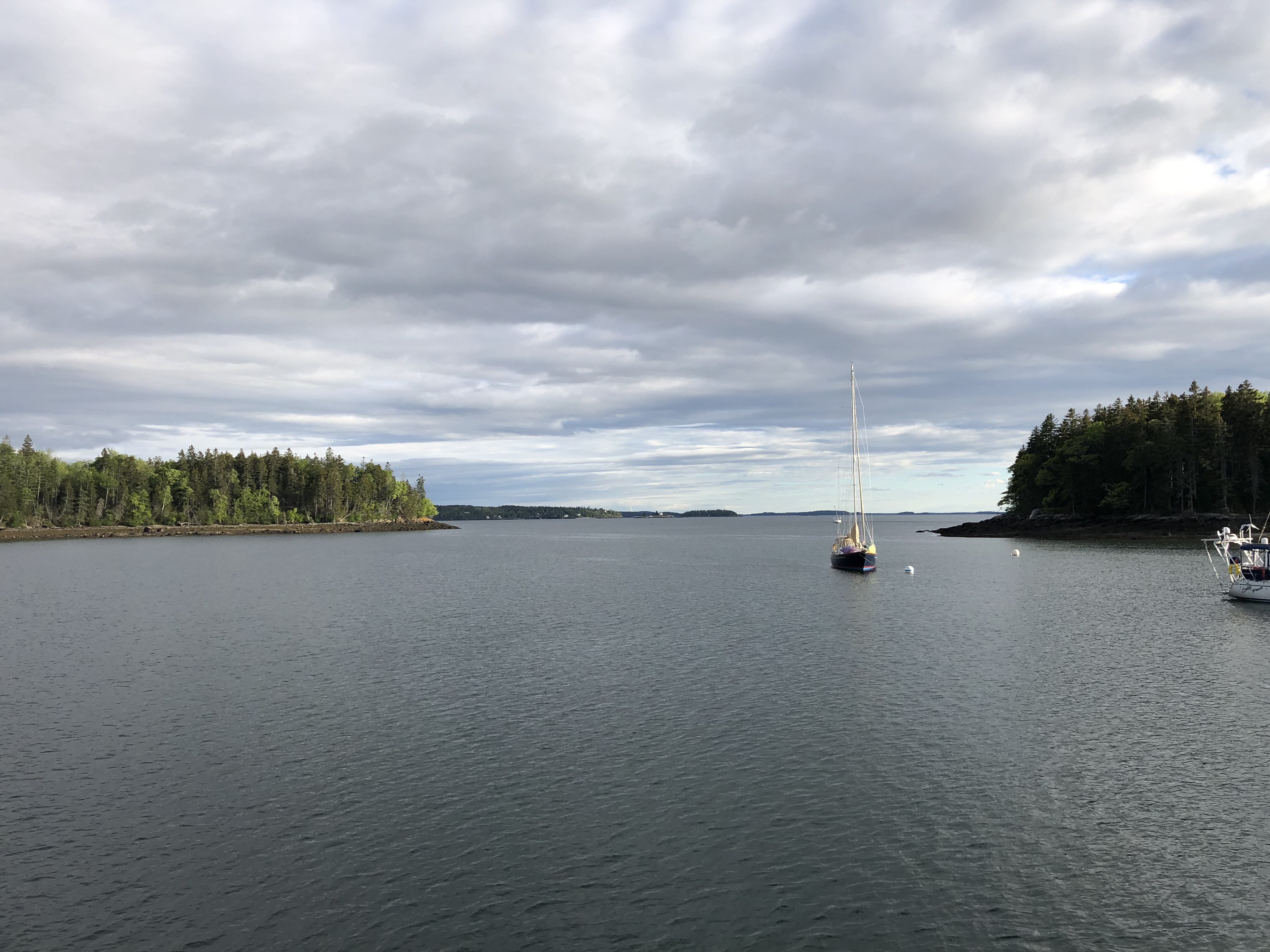
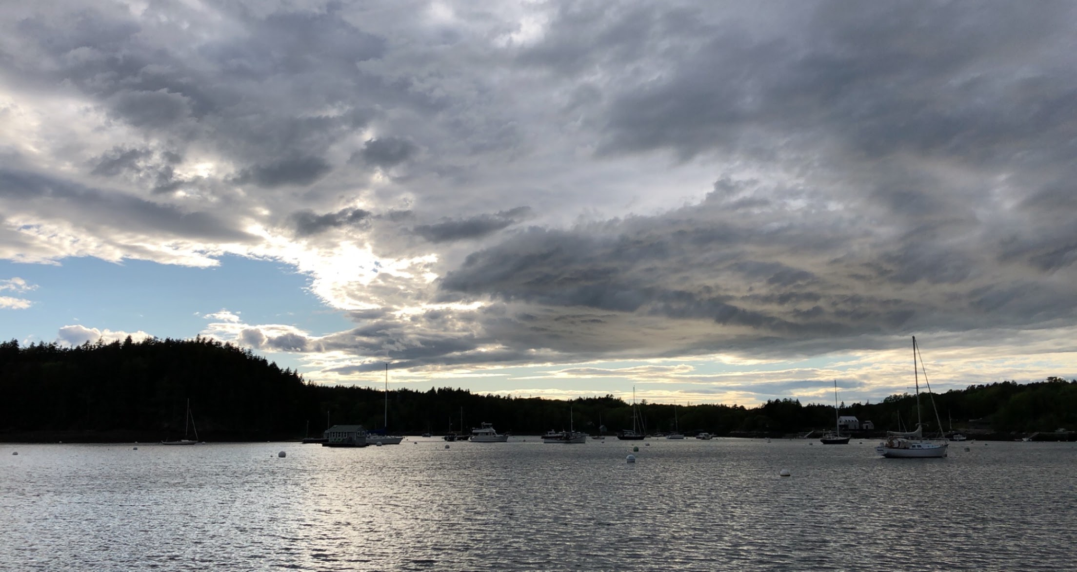
Now I can't tell you how excited I was to see coastal Maine. I grew up in Calais and went to high school in Portland and yet I have only ever seen a very small portion of the coast from the sea's perspective. UNTIL NOW. And it is even better than you can imagine. Simply, glorious.

The Ralphs were not off to the best start. I had dreamt of scouring every little cove aboard Lil' Betsy and anchoring off every isolated beach as if nobody but me knew they existed. I had a list of things I had to see, some of them legendary (Roque's Island and Puffin Island to name a couple). Captain Ralph had made other plans, namely to blast directly across the ocean to Bucksport Harbor whilst seeing nothing at all. Well, it has been a long time since I "punked" someone, but this time it was absolutely necessary. He plotted his courses, and after he went to bed, I plotted mine ;). Here I am feeling sly... but will an opportunity arise, and, more importantly, will I pull it off? The SnapChatters will be delighted to know that Captain Ralph still has no clue, UNTIL HE READS THIS VERY SENTENCE AND WATCHES IT UNFOLD BELOW. I hope he appreciates the humor (especially since it is too late). Either way, y'all are going to enjoy this, I guarantee it!

The evil mastermind: Ralphie Props

Here is the plan as it unfolded. Now keep in mind these are multiple short video clips sent over SnapChat in real time as it was happening. I am now combining those clips into segments to make it easier to watch:


Captain Ralph's granddaughter chimed in to help me pull this off. Papa's least favorite rapper is:

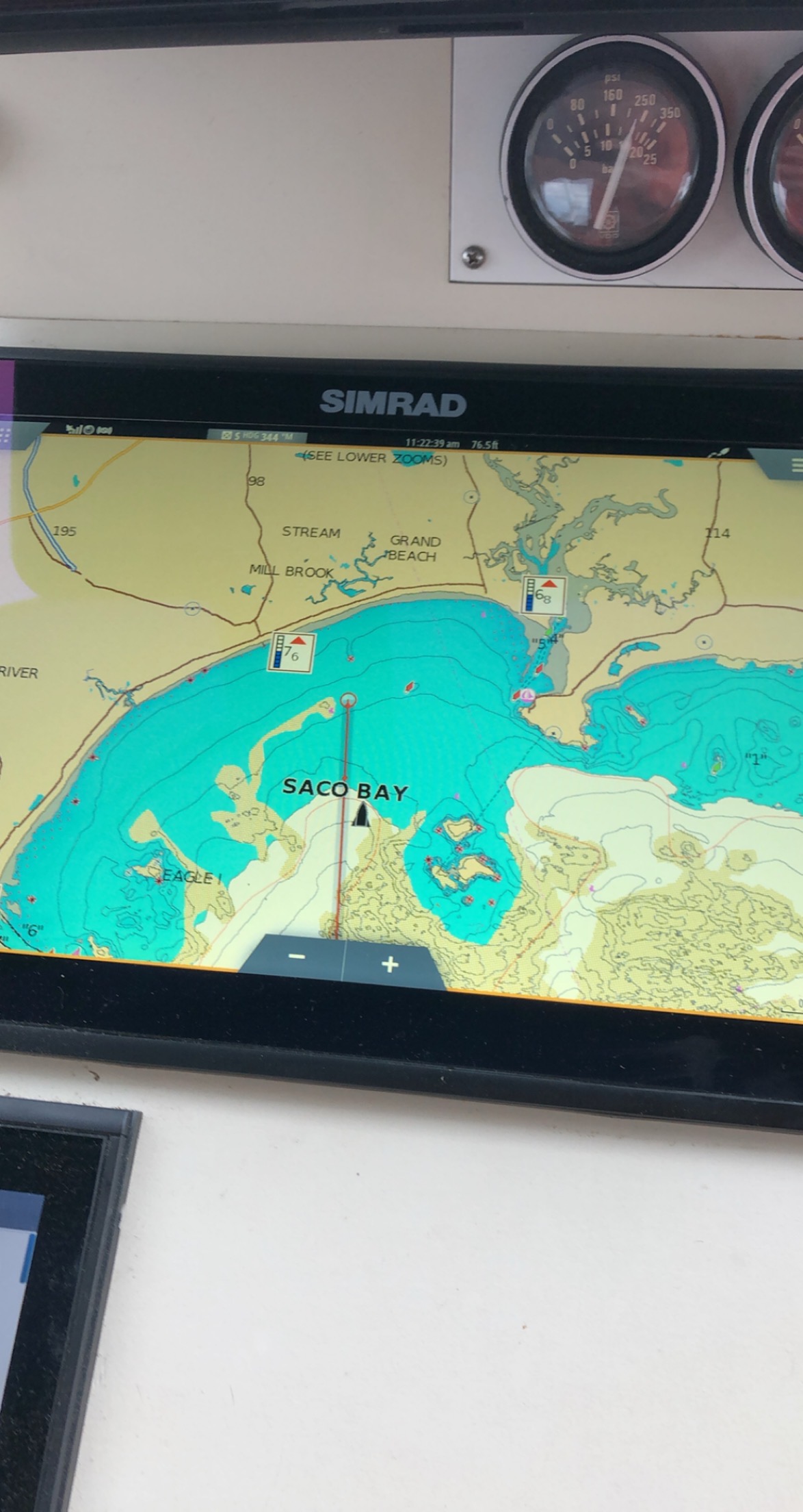
Oh, and that map is still in his plotter. HAS HE NOTICED?


Nearly busted, but got him "hook, line and sinker."


 Well, it was a blast of a day for me. It was even funnier when we filled up in Southwest Harbor. He stared at that fuel receipt for a half hour trying to figure out how we could have burned so much diesel over such a short distance. As it turns out, the coastal route is a little longer overall! 

(*Ralphie Props takes a bow*)